Stuff We Like: Ordnance Survey Maps
Our homage to the OS Map
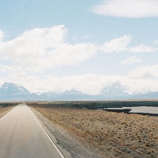
Whether you’re going out for a quick stroll or you’re planning to circumnavigate the globe in an old bathtub—it’s fairly useful to know which way you’re heading. Which is probably why, just a few months ago, as I tried to hunt down some half-decent bridleways to putz my bike around in the Peak District, I was reunited with an old compadre—the humble OS Map.
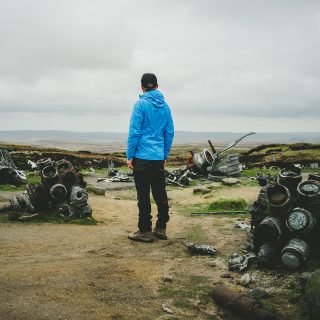
A true masterpiece of sheer unadulterated usefulness—the OS Map goes where that nosy little Google Street View car fears to tread—mapping out not just the roads, but the landscape itself, answering questions like, “How steep is that hill,” and “Is there anything down that path?” with serious detail.
These sizeable sheets of functional origami might give off a bit of a woolly-socked, Nuts in May vibe, but their beginnings are a bit more aggressive, and as with a lot of practical creations, they were actually originally devised by the military.
The story goes that during the Jacobite rebellion of the 18th century British Army generals were desperate to find a way to get the upper hand on the band of Scottish dissenters who were hiding out in the Highlands. The answer was the first ordnance survey—a detailed mapping of the Scottish landscape carried out by an engineer and surveyor named William Roy.
By the late 18th century the threat of a French invasion led to more detailed surveying, first in coastal areas that were deemed high-risk to invasion (like Kent and Plymouth), before a full-on national survey was started, county-by-country throughout the 19th century. I don’t know much about war, but you don’t need to be Lieutenant Dan to know that having a good idea of the landscape you’re fighting on makes things a little easier.
As you’d expect, the job itself wasn’t exactly a walk in the park. Carried out with the precision of a military operation, Roy and his team trekked across rivers and up mountains with a huge piece of custom-made measuring equipment known as a Ramsden Theodolite. Effectively a giant protractor, this intricate piece of kit helped them effectively break the British Isles into a series of triangles, using trigonometry to work out all-important distances and angles. As a side-note, those concrete trig points found on the top of hills aren’t just for photo opportunities, and are in fact plinths for mounting Theodolites on.
Beyond the lugging and the thinking, the team also had to be good at talking, as they were tasked with asking around and finding out what these places they were mapping out were actually called. This info is obviously taken for complete granted now, but in the 19th century, mystery still abounded, and even fairly basic details like the name of a village or hill could remain strictly local knowledge. This meant knocking on doors, a good listening ear and plenty of note-taking. Unsurprisingly mistakes were common—with the permanence of print meaning misheard names often became the standard (which is why Scawfell Pike in the Lake District is now known as Scafell).
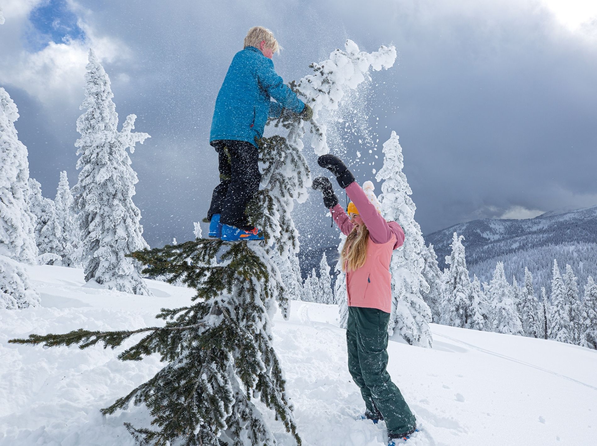
The resulting maps came in particularly handy during WW1, but it wasn’t until the ‘30s that they really started catching on outside the war room. With slight improvements in working life meaning normal people finally had a bit of time on their hands, hiking was no longer restricted to the blue-blooded elite, and rail travel and the advent of the automobile meant even those who toiled away in industrial cities could make a break for the hills come Sunday.
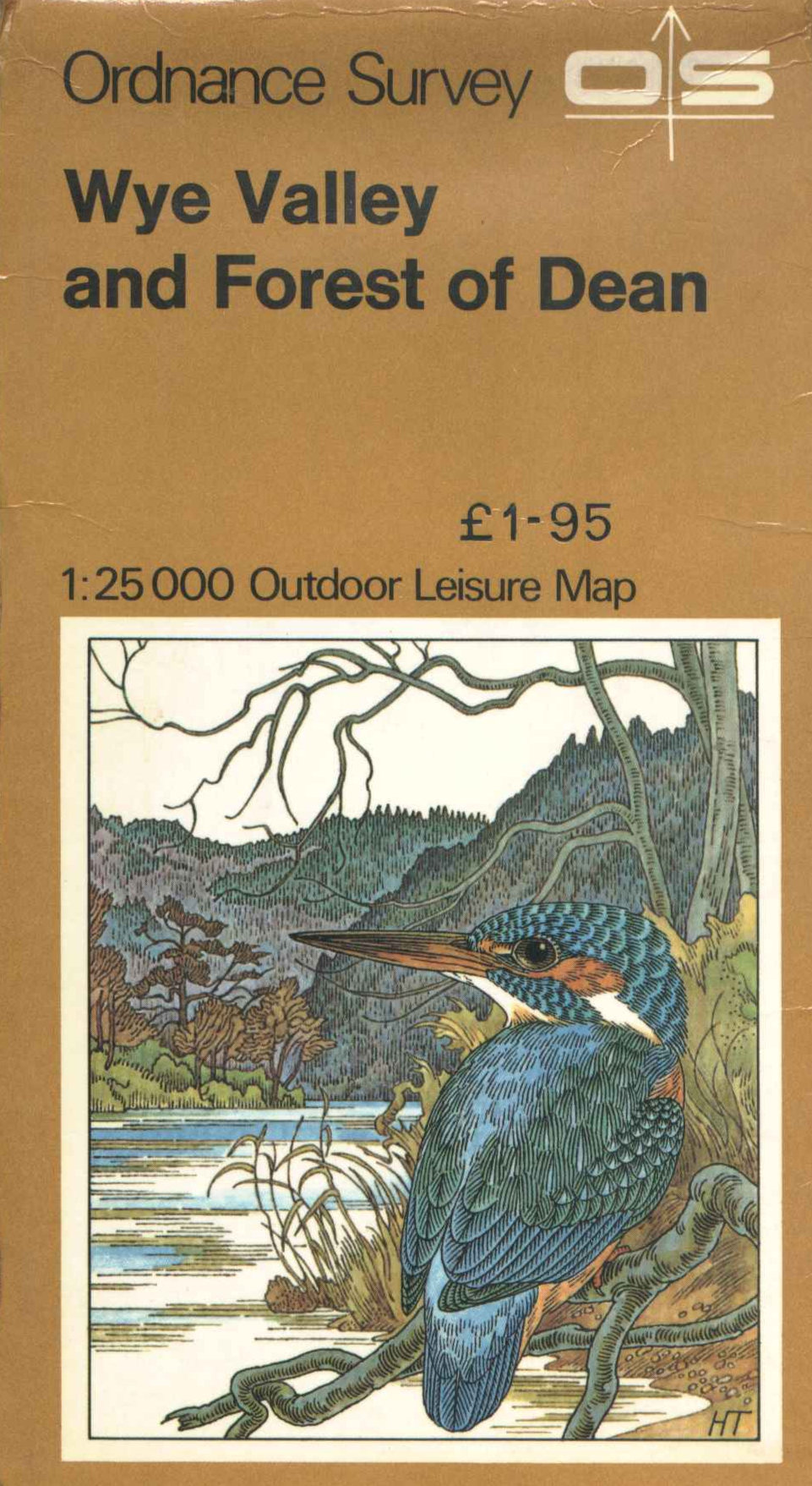
OS eventually twigged on—although it wasn’t until the 70s that they released their classic Outdoor Leisure maps—honing in on the national parks at 1:25,000 scale. Now there’s maps for everywhere, but interestingly, sort of like how Tesco’s make more money on Clubcard data than they do flogging food, apparently just a mere 5% of OS’s revenue comes from the maps, with the rest coming from their huge info-bank used by all sorts of agencies. But let’s not think about that too much… the maps themselves are very useful—especially for anyone who wants to break past the tarmac constraints of the modern road network and head into the hills.
“Sort of like trying to practise mindfulness via TikTok, the idea of relying solely on a smartphone (and 4G coverage) to enjoy the great outdoors seems a bit contradictory.”
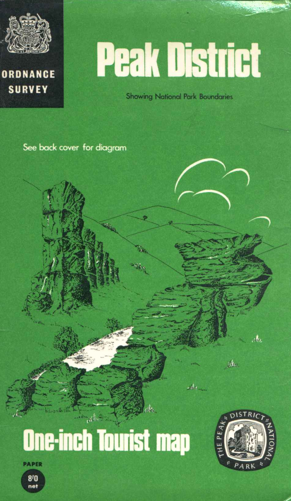
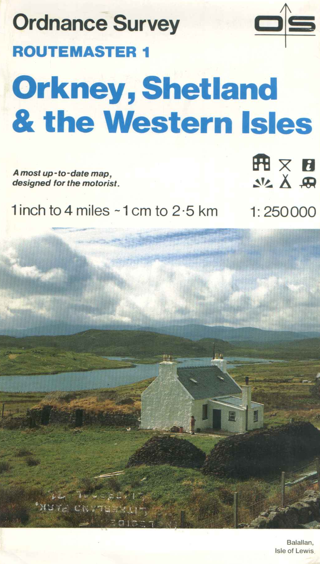
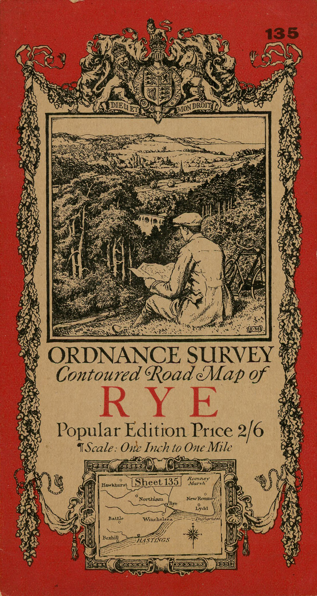
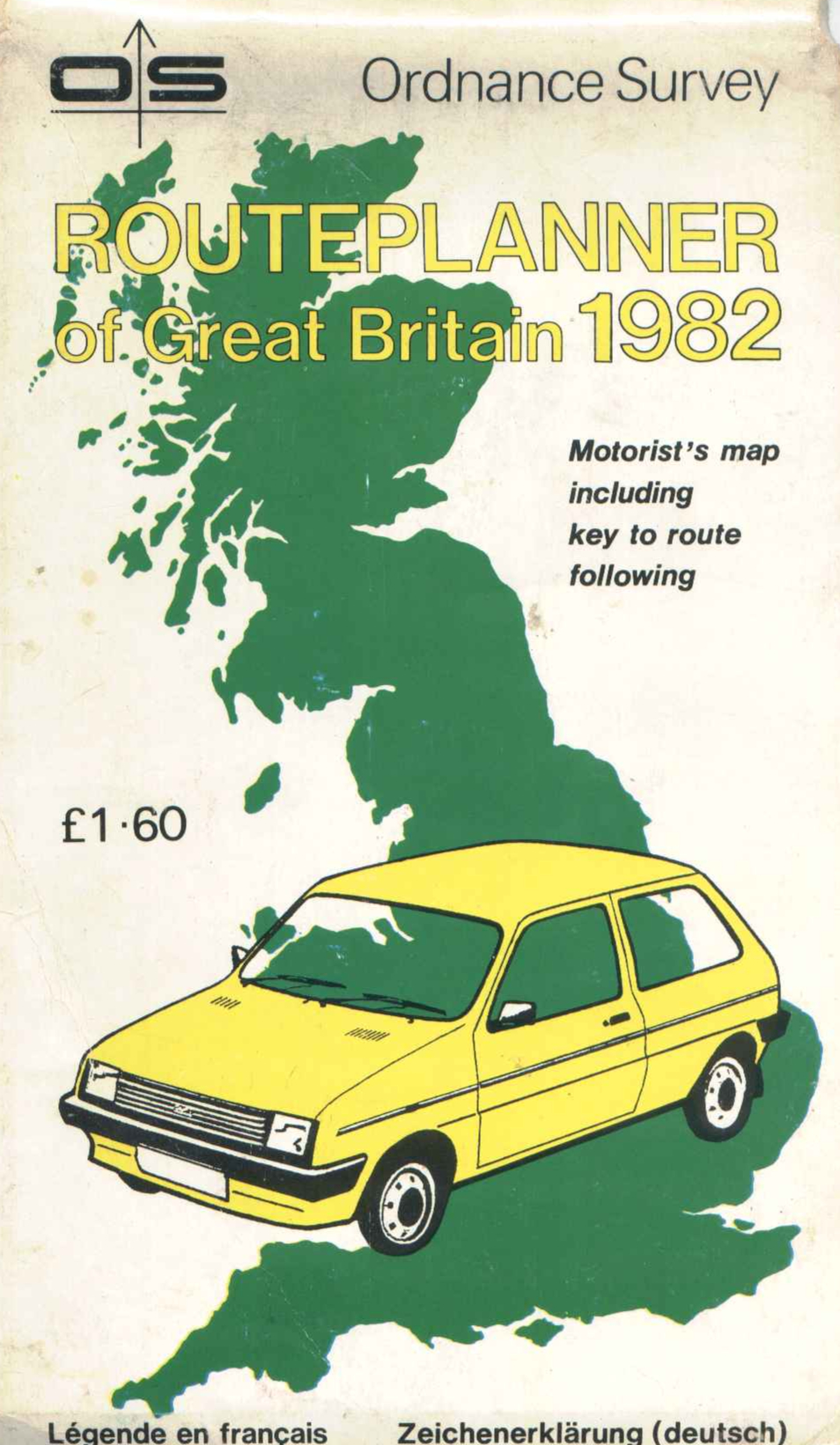
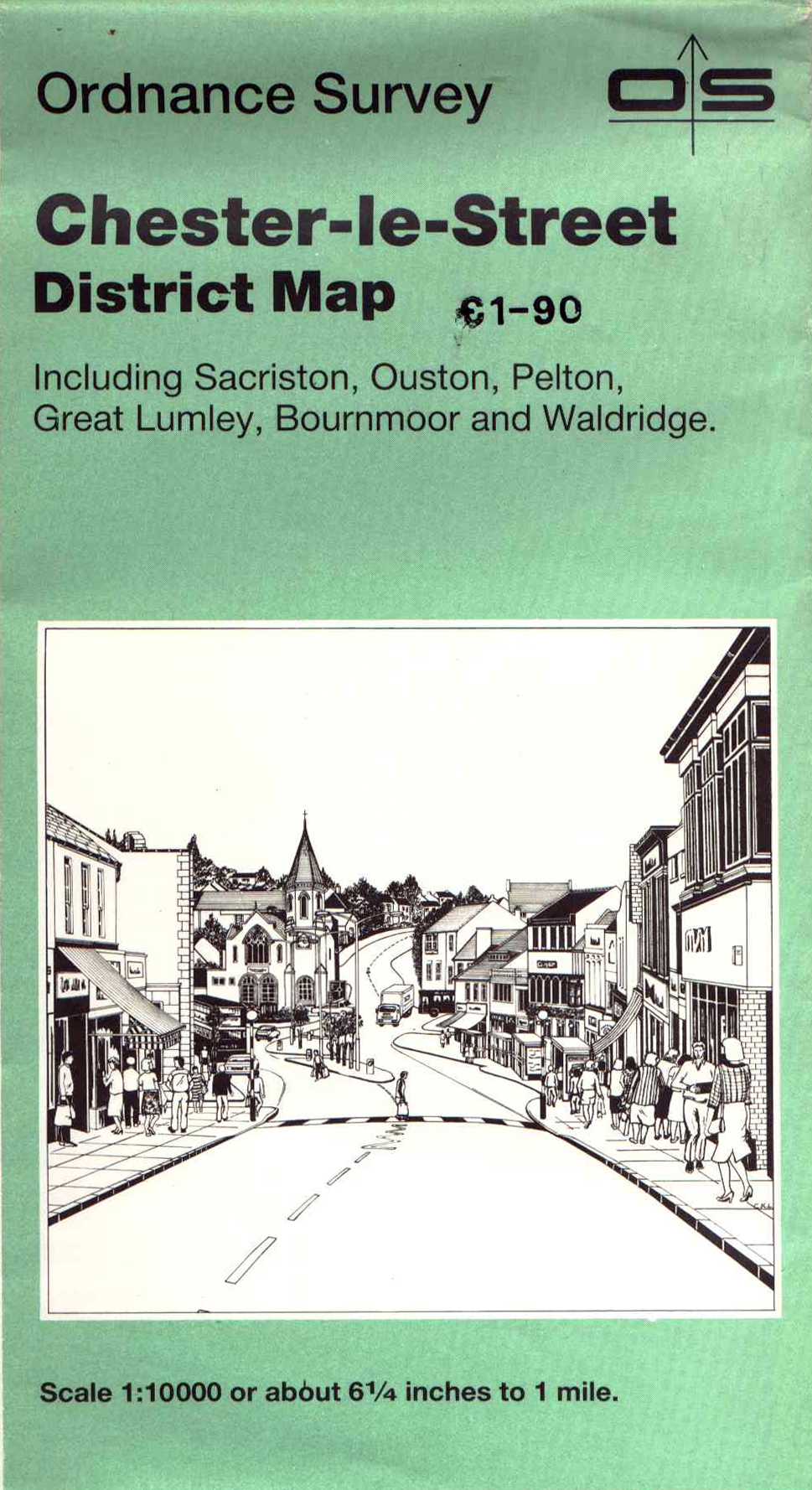
The graphic design is worth a mention too—and while modern maps are pretty mediocre, back in the 60s, 70s and 80s Ordnance Survey really went to town on cover design—with intricate illustrations and potent colour combos really selling the idea of venturing into the unknown… whether that meant a scramble in the Lakes or a wander around Waldridge.
Obviously now it goes without saying that there’s all manner of high-tech map-appery out there—OS even have an app themselves—but sort of like trying to practise mindfulness via TikTok, the idea of relying solely on a smartphone (and 4G coverage) to enjoy the great outdoors seems a bit contradictory.

Scrolling about on your phone just doesn’t give the same level of satisfaction of standing on the side of a fell, with ridiculously large map in hand, trying to plot the way home as the wind fights to pry it out of your frosty fingers. And even if you’re not planning on going anywhere, there’s something strangely enjoyable about spending an evening with a map spread out over a kitchen table working out the lay of the land, that’s hard to replicate with the endless giddy distractions of a backlit screen. Good luck folding it back the right way though…
Subscribe to our newsletter
Scans courtesy of the amazing Charles Close Society website which is definitely worth a trawl if you like looking at old maps.
Words by Sam Waller.